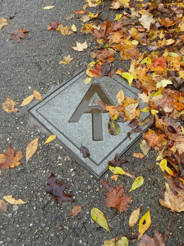
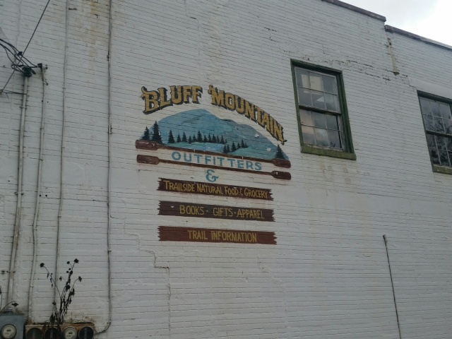
Friday, November 13, Top of Georgia Hostel, mile 2,120

Forgot to mention a humorous encounter last night with this guy and his dog. By the time he shows up, Mexican Buddha and I were eating dinner. It was pretty early, before 5pm. I found myself brushing my teeth for the night at 5:30. By 6 we’re in the shelter in our sleeping bags trying to warm up. He gets settled with his dog for bed and asks, “What time is it, like 9?” Me: “Um, 6:20.” Haha. He must not have had a watch, because then in the middle of the night he hears me roll over and asks what time it is again. “Um, 1:45.” He then swears and goes back to sleep. Haha, maybe he was hoping it was almost time to get up? It was in the thirties so maybe he wanted to hit the trail to warm up. The poor dog was shivering between me and him.

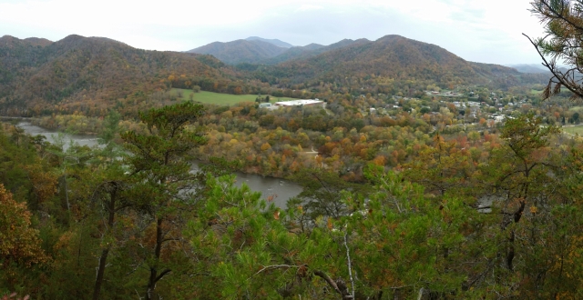
It was only 12 miles to Dick’s Creek Gap where the Top of Georgia Hostel was 0.5 miles west. Buddha and I were on the trail by 7 to try to get in early and enjoy the town of Hiawassee.

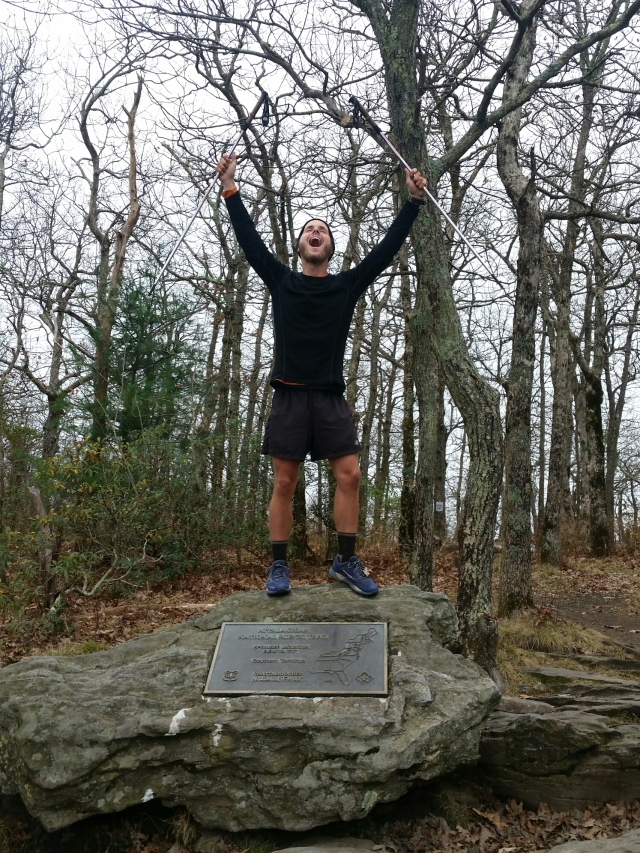
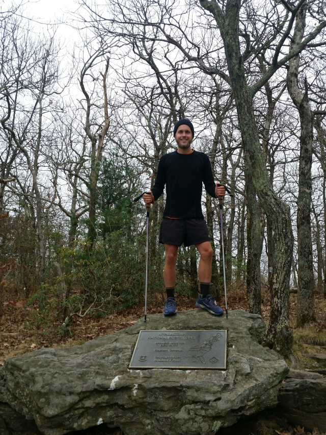
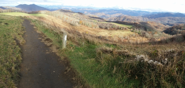
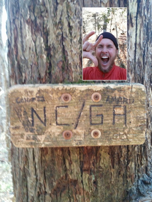
3 miles into the day I crossed into Georgia! Finally! Georgia has only 78.5 miles of the AT. Not much farther.

image

image

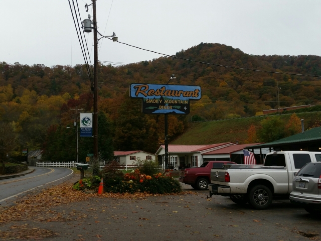
The hostel was great. It’s run by Bob “Sir Packs-A-Lot” (ironic trail name because he doesn’t – but during his thru-hike in ’03 he was testing a new ultra lightweight pack for Osprey which burst under his gear weight). He shuttled us into town 11 miles away at 1 and picked us up after 6. We got to get lunch, walk around town, resupply, and get dinner. There was a cool place that had interesting beers to sample so I checked them out. I hit the post office to ship back home a knife that TSA would confiscate, and it’s not a big deal since I rarely need a knife on trail.

Unfortunately Cory and Rachel’s package did not get in on time like the guy said it should. USPS, I have no words. It has to be returned to sender. Cory and Rachel – sorry this had to happen! Thank you for your willingness to send me a package!

1Step and Red Swagger got in later in the day. They both have the same mileage plan to summit Springer, so I’ll be with them to the end. Mexican Buddha decided to slow down so I won’t see him again (it’s been great hiking with him while we did!). 1Step’s wife Lynette is picking him up at Amicalola Falls State Park, and they live south of Atlanta so they offered to drop me and Red Swagger in Atlanta. That is a load off my chest, figuring out how to get there!

Saturday, November 14, Blue Mountain Shelter, mile 2,139

After a breakfast of 5 eggs, sausage, coffee, and all-you-can-eat cereal, we were dropped off the half mile back at the trailhead. Supposedly the next 16 miles for us southbounders are the toughest in Georgia due to the ups and downs. The weather was great for hiking, chilly but once I got moving it was no problem. The combination of it being a Saturday and the weather was nice and sunny meant there were a lot of day hikers out! Much more than usual.

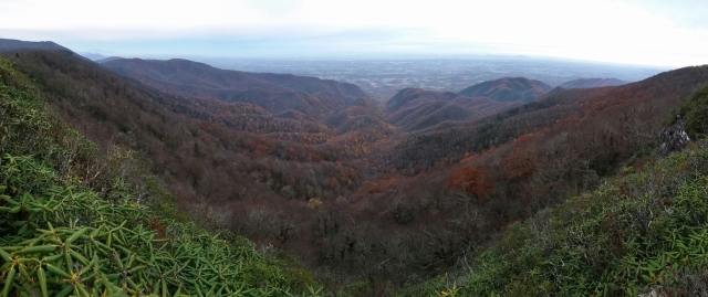
The neat view today was from Tray Mountain, where you could just make out Atlanta in the far distance. (not sure this picture will show it)

image

There were about 7 guys at the shelter, in different groups. I got the last spot in the shelter. It was a great night, we got a good campfire going to sit around.

Sunday, November 15, Woods Hole Shelter, mile 2,161

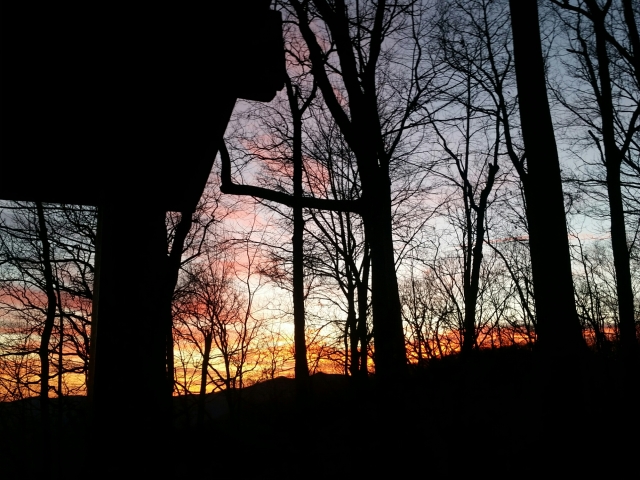
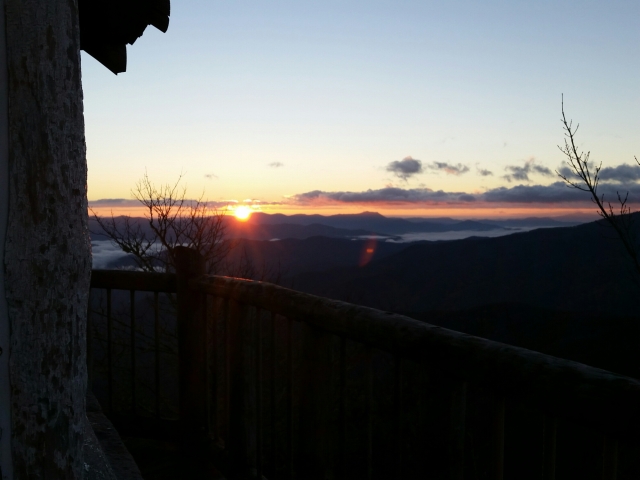
We woke up to a beautiful sunrise view from laying in the shelter:

image

Today’s goal was either Blood Mountain Shelter or Woods Hole Shelter, only 1.2 miles apart. I was game for either, and planned on heading to whichever one 1Step and Red Swagger went to. Similar to yesterday, there were tons of day hikers out! This is a popular section of the AT. Lots of beautiful views.

image

At one peak, Red Swagger and I met a couple who were hiking and they got so excited when they found out we were thru-hikers. They said they carry extra snacks to share whenever they come across us, knowing that this time of year the SOBOs are passing by. They gave me some candy and bars, ones I don’t usually buy, which is great for variety 🙂

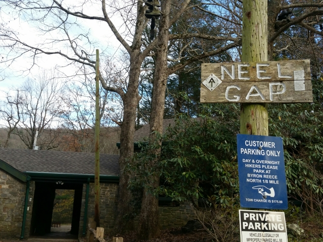
We arrived at Neels Gap in the afternoon, where there is an outfitter and hostel. I didn’t really need anything, but filled up some of my water bottles, because Blood Mountain didn’t have a good source in case I stayed there. Ultimately, we pushed on to the farther shelter because no one was at Blood Mountain. The views were beautiful.

image

image

Again, we got a good fire going with the weekenders. Gotta love having them on these brisk nights.

Monday, November 16, Hawk Mountain Shelter, mile 2,181

At the Top of Georgia Hostel I grabbed a small fuel canister that felt about half full from a hiker box. This was because I didn’t know if the fuel I had would last to Springer. Two guys last night ran out of their fuel, so it was perfect timing for me to ditch my larger one so they could take it, and the small one would last me til the end. In the morning as I left camp one of the guys thanked me profusely, but he was helping me too by taking some weight from my pack!

The weather was great again, couldn’t have asked for better. It started out chilly and warmed up a bit. I took it slower than usual.

image

image

Unfortunately I had some “GI distress”, shall we call it, so I had to take multiple bathroom breaks and came close to running out of TP before I made it to the shelter. (I think my body is getting tired of the hiker diet which doesn’t include any fresh food.) I was down to three squares of one-ply TP. Yeah, not a good situation (haha). But 1Step and Red Swagger came through with their extra TP so I should be good tomorrow.

Rivet was here with his brother, hadn’t seen him since the Shenandoahs. There were a few section hikers too, and we got a fire going. Third night in a row with a fire! And also my last night on the trail. Crazy to think about.

Tuesday, November 17, Springer Mountain, mile 2,189

The weather last night was great, upper 40’s. I didn’t need to put on my wool leggings or use my sleeping bag liner. I had my usual breakfast and was the first to hit the trail.

The 8 miles leading to Springer were pretty straightforward, no crazy climbs or descents.

image

image

image

image

I took my time, so 1Step and Red Swagger passed me, but I wanted to soak in the last few miles!

image

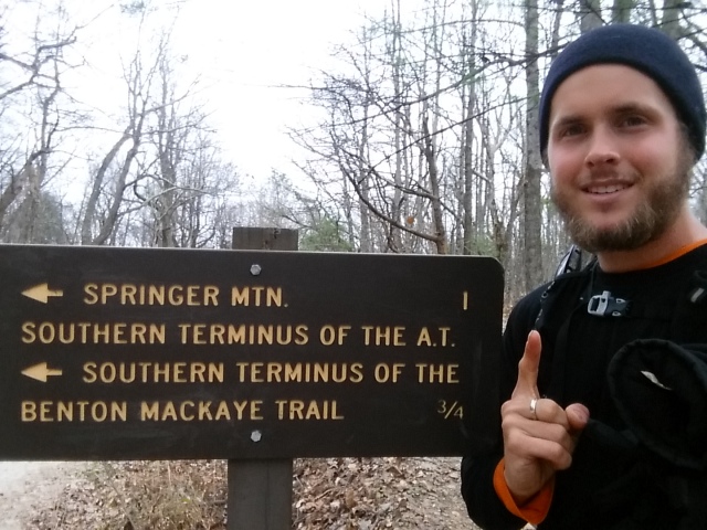
By about 11:15 I summitted! The weather was overcast, but that didn’t dampen any spirits! Of course I had to make coffee for us all, seeing as my trail name is French Press.

image

image

image

image

image

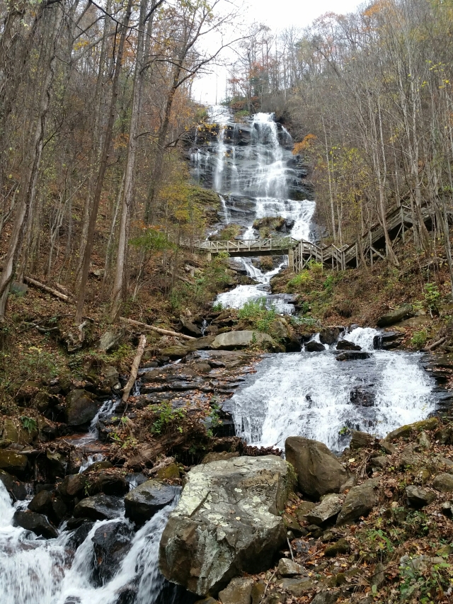
Although we could say we completed a thru-hike, we weren’t done hiking yet! There were another 8.8 miles to get down to the arch that marks the start of the approach trail in Amicalola Falls State Park. The falls were stunning, I can only imagine how beautiful being there during peak foliage would be.

image

image

image

image

image

image

More to come: a post on the first 9 days with Daryl, and final thoughts on the trail. I’ll also upload ALL pictures and provide a link. The pictures here on WordPress are compressed, so I’ll upload full resolution images.

Saturday, November 7, Fontana Dam Shelter “The Hilton”, mile 2,023

We found out last night that mice were a problem at the shelter, when they were running around and we saw a few. Our food bags were hung up outside on bear cables, and our packs were hung up with all pockets opened (so they don’t eat holes through anything) inside the shelter. As I came to find out, they did some exploring. I had put my JetBoil in my pack, with the plastic lid on. I should have left it off, because one mouse must have wanted to check for food inside of it and chewed the spout into a larger hole. Functionally, it’s fine. So ultimately I don’t care. In fact now it has a story (haha). Next time I’ll be more careful.

I hit the trail by 7am to get a good start, praying for safety and that the weather would hold up. The forecast from yesterday said rain all day, and I wanted to get to the shelter in good time. Getting out of bed was not easy at first, listening to the rain was coming down pretty hard, and knowing I was aiming for 23 miles. By the time I left camp it was only drizzling for the first few hours, and there were some good views.

image

image

image

Most of the day from then on was poor visibility and rain.

image

image

The shelter I arrived at is nicknamed “The Hilton” because it sleeps 20, there is a faucet just outside, trash cans, and men’s and women’s bathrooms with free hot showers! Definitely a 5-star shelter. It’s just beyond the Fontana Dam Visitor Center, and I stopped on my way to get a Coke. Lo and behold, a DIET Coke came out… WHAT?! I need my calories!!! It ended up being okay 😉 When I was getting settled at the shelter, I briefly met a guy doing a section hike with his buddies, and he was waiting for them with a car. I went to the restroom to shower and clean up, and he stops by on his way out to let me know he left a beer by my gear. Awesome! Turned out to be a local brew, Asheville Brewery IPA.

image

image

image

Mexican Buddha and Taco showed up, so I had some company. They took a zero today in Fontana Village, and showed up with snacks and sodas, so I ended up getting a non-diet soda 🙂

Sunday, November 8, Sassafras Gap Shelter, mile 2,045

No rain forecast for today! The days that follow rainy days are the best. It’s just such a relief to be hiking in dry weather, even if it’s cold, which today started out that way.

It was a challenging 22 miles, there wasn’t one particular climb that stood out, but it seemed like most of the day was a short up or down, not a whole lot of flat sections. In the afternoon I took my last snack break at Stecoah Gap at a picnic table. Looking up towards the climb I was about to tackle, I saw a plastic bag hanging from a trail sign. From a distance I assumed someone left their trash there. Of course, after having my snack and hiking up to it, I realize it’s trail magic! Someone left awesome homemade muffins. Fuel for the climb up to Cheoah Bald!

image

image

Taco didn’t make it to the shelter, but Mexican Buddha and I were there with three older guys out hiking a section from Fontana Dam to the NOC (Nantahala Outdoor Center). They were great, started a fire (it was a cold night), shared some food, and one guy even asked if any of us needed a pack cover that he found on the trail. I didn’t have one, and there are times when it would be nice, so I took it. Before, my solution in rain was to use a big poncho tarp. The problem came when it only very lightly drizzled, and I didn’t feel like putting the poncho on and working up a sweat, but the longer it lightly drizzles, the pack slowly gets wet. A pack cover allows me to hike without the poncho but keep the pack dry.

Monday, November 9, Nantahala Outdoor Center, mile 2,052

Today was an easy 6.5 miles, mostly downhill, to the NOC. However, it was raining and windy. It started in the middle of the night, and the section hikers were glad they decided to stay in the shelter and not tent in Cheoah Bald. Sometime early morning before anyone was up while it was still dark we heard a massive crash nearby, likely a tree that was blown down. Thankfully it didn’t hit the shelter…

The rain continued through the morning but slowed down the later it got. I picked up some packages at the NOC Outfitters from Dad and Doug (trail angel). Doug reached out to me because he saw from my LinkedIn profile that I was hiking the AT, and offered to send a maildrop. Thank you for your generosity, Doug!

image

In the continuing saga of Cory and Rachel’s package, it did not show up. Per the tracking number, it was waiting at the Hot Springs post office. What happened to forwarding it here like I requested? Well I called them and requested it be forwarded to a hostel in Georgia. They said it should arrive a day before I plan to be there. Fifth time might be the charm?!?

Mexican Buddha and I got a table in the NOC restaurant for a while to get food, recharge phones, and wait for Taco, Star Trek, and Saffron, who we expected to get in today. We saw some of the section hiker guys from last night in the restaurant and chatted with them, and they came back in after leaving with the last of their food they didn’t need to let us have it! There was some good stuff, and they even had a few beers. Also, we came to find out later, on their way out they paid for everything we had ordered to that point! So generous, what amazing trail magic!

For my resupply, I was planning on getting everything at the NOC. Turns out their general store is closed this time of year. But there was a gas station a half mile away that would work. We saw 1Step’s wife Lynette in the restaurant, and she was willing to give us a ride. Gas stations are so much more expensive, so certainly not the ideal resupply. Literally about 2.5x as much as a supermarket resupply.

When the others got in, we all split the cost of a bunkroom. There was a nice common area with tables, so we played cards, a game a Star Trek and Saffron made up called Schmegma.

image

Tuesday, November 10, Wayah Bald Shelter, mile 2,068

My mileage for today was about 16.5, so I took it easy in the morning. We all were relaxing in the common area, and 1Step and Lynette showed up too. The forecast looked awesome for today and tomorrow, no rain 🙂 

Around noon I took my first snack break at the Wesser Bald observation tower. It was so nice, I got to lay out in the sun up top, refuel, and check out the views.

image

image

Mexican Buddha and I were the only ones to get to this shelter. He packed out a deck of cards, so we continued with the Schmegma game. It’s getting cold again! Should be in the 30’s tonight.

Wednesday, November 11, Long Branch Shelter, mile 2,087

Today was similar to yesterday, not too many other hikers out other than Mexican Buddha and some day hikers. Early morning I got to Wayah Bald, which had an awesome observation tower.

image

image

image

I took a lunch break on top of Siler’s Bald, well worth the 0.2 side trail to the summit. There was cell reception at the top, so I checked Kayak.com for flights from Atlanta to New York City (to visit John first, then I’ll catch a bus to Albany to visit Lauren and Brad). I had been checking for a while, and was debating between a bus or flight. Today there was a good enough deal on a flight, so I’m now committed to summitting Springer Mountain on November 17th at the latest, since the flight is early morning on the 18th! A 2 hour flight sounds better than a 20+ hour bus ride.

image

image

Thursday, November 12, Muskrat Creek Shelter, mile 2,108

The forecast until 1pm showed 50% chance of rain, 25 mph wind, and gusts up to 50 mph. Well it was certainly strong wind, but not as bad as forecast. Not far south of the shelter was Albert Mountain, with a brief steep descent, but the weather wasn’t bad enough to make it dangerous. There was no view at all though, so going up the observation tower was pointless.

By lunchtime the sun came out, along with the views. I hit the Standing Indian Mountain summit in the afternoon for a great view.

image

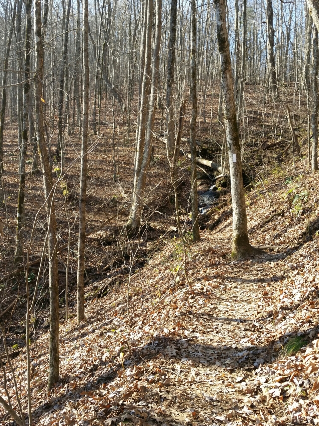
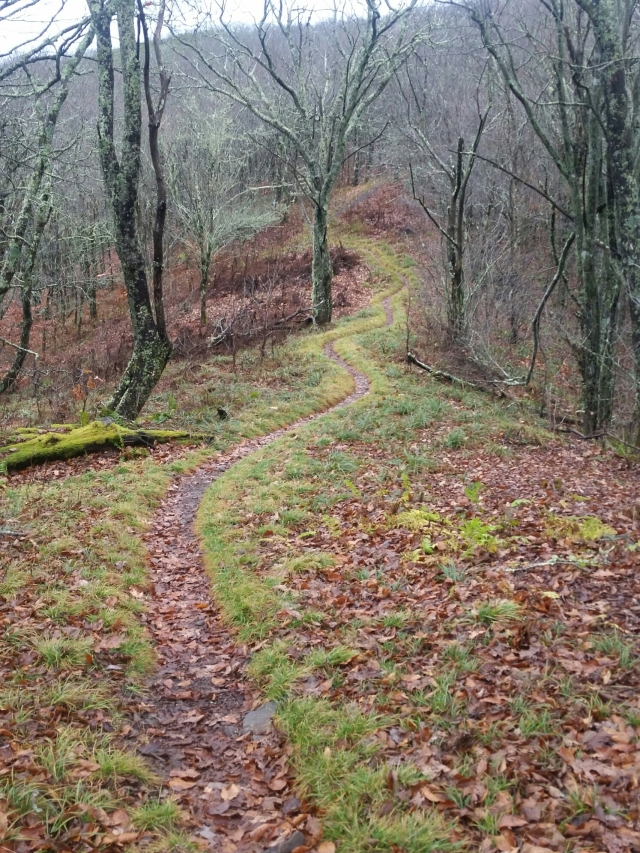
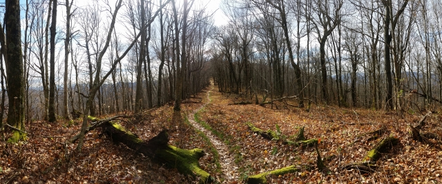
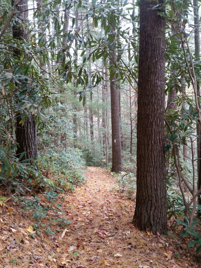
Virtually all the leaves have fallen by now, so most of the trail looks something like:

image

image

Muskrat Creek Shelter is about 12 miles from Top of Georgia Hostel, which Mexican Buddha and I planned to stay at. They have shuttles into Hiawassee, GA so we can resupply and get a bite to eat. This will be my last hostel, hopefully a good stay!

Monday, November 2, Deer Park Mountain Shelter, mile 1,918

Today I planned an easy 3 miles out of town. A few of us went out to breakfast, then I went to the post office for two packages, one of which was Cory and Rachel’s. It was originally sent to Damascus, VA, then forwarded to Hampton, TN, then forwarded here to Hot Springs, NC. I gave them (what should have been) plenty of time between places. Well, it didn’t arrive here in time either. Looking at the tracking history, it went back and forth between locations so many times, I’m not sure what the deal is. But the postal worker was understanding and willing to forward it again, this time to a commercial address, which they don’t normally do. I have them a location that I expect to get to in 7 days, so hopefully the fourth time is the charm!

image

The hike out was nice, including a decent climb to start. It rained earlier but held off during late afternoon. Now that we’ve had daylight savings, it’s getting dark early! We got a good fire going despite the damp woods.

The end is in sight. It’s crazy to think about. I likely won’t be taking another zero, there aren’t anymore trail towns directly on the trail that are a “must stop”.

Tuesday, November 3, Max Patch Bald, mile 1,935

Honey Bear carries around a nice plastic trumpet, and so we got a nice wake up to revelry at 6am. I was already awake getting breakfast started, so I enjoyed it!

Today was an easy 17 to Max Patch Bald. Getting on the trail before 7:30 meant I could take my time with breaks, but I actually wanted to spend time on the bald to enjoy the views. On the way, there was a massive apple tree with most of the apples fallen, I found a few good ones.

image

image

I was planning on getting water to last me through the night and next morning from a reliable stream 0.5 miles before the summit. Near where I was expecting it, I passed a barely moving water source, and assumed it wasn’t the “reliable” one noted in my guidebook. Well, I kept getting closer to the summit and realized that must have been it, but I figured I’d drop my pack at the summit and hike back for the water. Oops. At least it gave me more time to see the views, which were amazing.

image

image

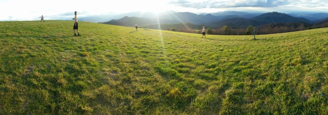
I was the first one up there, eventually there was a huge crew of southbounders joining! Oilcan, Quiet Earp, Stank, Honey Bear, JB, Frostbite, Coin Toss, Tennessee Jed, Houdini, Jackrabbit, Slider, Still Smoking, and No Rush were all there. The wind was tame, so a few of us got some good frisbee tosses in.

image

image

A nice local guy showed up, also camping overnight at the summit, and brought some local beer to share, Pisgah Pale Ale. That lifted my spirits, after just 5 minutes before realizing that the sausage I bought in Hot Springs was not pre-cooked… It worked out alright, even though cooking it wasn’t the cleanest or easiest in my JetBoil. But then to cap off dinner I also remembered that 1Step gave me a decaf Starbucks Via instant coffee that I paired with some dark chocolate 🙂

image

Wednesday, November 4, Mount Cammerer Lookout Tower, mile 1,956

Last night, some of us were mulling the possibility of cowboy camping. Good thing I didn’t (and the two who did at first, ended up setting up their tarps). When it got dark and we were eating dinner, a thick mist rolled in, getting everything damp. The wind also picked up. Even being in my tent, my sleeping bag couldn’t avoid getting a bit damp from the weather rolling in overnight.

Getting up in the morning was no different, except the wind had died down. I packed up a wet tent, with the intention of drying it out sometime during the day or at night.

Today I was aiming to do 21.8, which included a 0.6 side trail to the Mount Cammerer lookout tower. Northbounders highly recommended camping inside the tower, or at least going for the view. I decided to camp there because the mileage worked out for a productive day. Today had the most elevation gain in a long time. There were 400′, 1,300′, and 3,600′ ascents, for over 5,000′. The 3,600′ climb began just before entering the Great Smoky Mountains National Park, and continued up to the Mount Cammerer side trail. Generally these big climbs are preferable in the morning or midday!

image

I stopped before 11am at an FAA tower that was in the open on a peak, when the sun was out. I hung my things on a fence to dry and took a long snack break.

Despite adding a total of 1.2 “non-AT” miles, it was well worth it. The tower had a great view.

image

image

Thursday, November 5, Icewater Spring Shelter, mile 1,979

There was a nice sunrise I could watch while having coffee and oatmeal.

image

The Smokies are beautiful. The trail here reminds me of Maine, how the trees smell like Christmas in this altitude, and there are portions that are very rocky or have lots of roots from erosion, and mud, which hasn’t been an issue for a long time.

image

image

The weather was beautiful early on, but pretty quickly a mist rolled in which then became a steady light sprinkle. A few hours later it cleared, and then as I was approaching the shelter it was back to a light sprinkle. Quite a few views were complete whiteout, unfortunately. And the next two days look worse for rain, but we’ll see. Most people I’ve heard about the Smokies from have said it rained when they were there, so I was expecting weather like this.

One highlight northbounders said to check out was Charlie’s Bunion, a rocky outcropping, but alas, the view was just mist.

image

The 12-person shelter almost filled up, with 6 southbounders and 5 weekenders. I enjoy the balance of having this many people at a shelter on the one hand, but also nights like last night, being alone, on the other.

Friday, November 6, Derrick Knob Shelter, mile 2,000

The Icewater Spring Shelter had a camera icon next to it in the guidebook, which means there should be a beautiful view. Last night it was all mist, but in the morning it was clear enough to get a neat view.

image

Within three miles we hit Newfound Gap, the intersection where you can hitch to Gatlinburg, TN, a big town. I had enough food to last to Fontana Dam, so I pushed on while the others tried to hitch.

Clingman’s Dome is the highest point on the AT, at an elevation of 6,655′. It was about 8 miles from Newfound Gap, and the weather held off on the way so I got a few pics.

image

By the time I got to Clingman’s Dome, it was raining with no visibility. The view from the lookout:

image

Within a few hours the rain cleared up, thankfully! Tomorrow it’s expected to be worse.

image

There was a group of 5 guys out for a few days, and a gal on a roadtrip staying in the shelter. This shelter marks mile 2,000! Only 189 left. It definitely feels bittersweet being close to the end. On the one hand, I look forward to getting back into the swing of things, but on the other, I don’t want to rush this experience.

(Forgot to mention, on the day I headed into Erwin. I almost had a heart attack… With earbuds in, I heard an extremely loud and deep growling directly to my right. I immediately pulled out my earbuds and gripped my trekking poles while frantically looking around. As I came to realize, the strong winds were forcing a huge tree to sway and bend in the wind, which created a deep sound that sounded like a massive growling from a mountain lion. Thankfully it was just a tree 😉

Thursday, October 29, Bald Mountain Shelter, mile 1,863

The shuttle for breakfast leaves at 8am, but I knew that it would take a while to get back and hit the trail, so I had my normal morning and breakfast routine, but took my time and was off by 8:30. The forecast was for a chance of rain in the morning, and clearing up in the afternoon. It lightly drizzled at times, so I put on my poncho twice at different times so my pack wouldn’t get too wet.

There was a neat view of Erwin in the morning.

image

The shelter was 17 miles from Uncle Johnny’s, so I got into camp early, but it’s nice not to push for big miles the first day back on the trail after a day off. 1Step showed up later for some company, though I was actually expecting Hallow to make it here. But then again he mentioned how nice another zero would be…

image

Friday, October 30, Jerry Cabin Shelter, mile 1,888

What an amazing morning. I got up at 6 to make breakfast and coffee, and 1Step was up around the same time too. I was on the trail a bit after him by 7:05. Within 1.2 miles from the shelter was Big Bald, which I figured would have some great views. The sunrise was going to be at 7:50, and I got up to Big Bald about 15 minutes before and took pictures while waiting. So gorgeous!

image

image

image

For the second time in a few days, I passed an apple tree with freshly fallen apples. They may not have been perfect on the outside, but they were nice and crisp, which is what I prefer. Naturally I ate several and packed out about seven (they were small). It’s so satisfying to come across fresh fruit directly on the trail! Delicious.

image

image

I got to Jerry Cabin Shelter before 6, and there was a group of four older folks already there. Turns out two of them run the Cantorossa Farm hostel in Erwin, a nicer place than Uncle Johnny’s (well, a quieter, non-partying place). They sound like a great spot, and have their own chickens and honey bees.

By the time I had my dinner going, they got a nice fire going. As a thru-hiker, this is so nice to walk into! Fires can be so much work to get started sometimes that unless we are with others willing to join in the effort, it’s not something we do. But on a cold night like this (supposed to hit the upper 30’s) it’s especially welcome!

image

Saturday and Sunday, October 31 & November 1, Hostel at the Laughing Heart Lodge, mile 1,915

I wanted to get an early start since today was going to be a marathon day (26+ miles) to get into Hot Springs, NC. I hit the trail before 7am while it was still dark, hoping to be in a cool spot to see the sunrise. Sure enough, there was a lookout that I made it to before 7:50am, and 1Step was there waiting for the sun to rise too.

image

image

The rest of the day went by fine. The weather was nice for hiking, pretty cool, but meant I kept changing layers on and off.

image

image

There were some neat views of Hot Springs during the final few miles descending into town. It was bizarre walking into town on Halloween and seeing kids in every imaginable costume, haha. I definitely had a few comments about pulling off the thru-hiker costume well 😉

image

image

I checked in at the hostel and got cleaned up before heading out. A good amount of other SOBOs had gotten in earlier and put together some on-the-fly costumes, togas using bed sheets. They actually pulled it off really well. And with the massive beards they looked like they actually stepped out of a previous time period. I got a 12 ounce hiker burger at the local diner and joined them briefly, but really needed a good night’s rest, so didn’t stay out long.

image

image

image

The next day I got the usual errands done. It was great to finally be in a trail town on a Sunday to be able to watch football! But of course, this week had to be the week that the Patriots played on Thursday night 😦

image

image